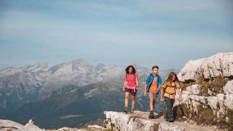
1 Sentiero delle cascate - Val Genova
Elevation: 970 m
Time: 5 h
Start: Ponte Verde
Arrival: Piana di Bedole
This easy path starts from “Ponte Verde” area toward “Piana di Bedole” , following the signs of the Adamello Brenta Nature Park, among little bridges, wooden gangways and stone paths, discovering the natural beauty of Val Genova. You can walk the path also in stretches and return both on foot or by the Park shuttle buses. The road, alongside the path, is accessible also in mountain bike.
We recommend you also the following paths, starting from the Waterfalls path: nr 2, itinerary of Fontanabona (sign by the Adamello Brenta Nature park and Sat path 212) following in the footsteps of the Great War, nr 3 reaching the majestic Lares waterfalls and nr 4 from the Bedole mountain hut to the glacial amphitheater of Matarot.
6 Prà Rodont - Pinzolo
Elevation: 730 m
Time:1he30min
Start: Prà Rodont
Arrival: Pinzolo-Loc. Ruina
Walk downhill through the woods and the meadows from Prà Rodont to Pinzolo and conversely uphill (it is possible the round trip by cableway).
7 Prà Rodont - Puza da l’acqua
Elevation: 0 m
Time: 1 h
Start: Rifugio PràRodont
Arrival: Puza da l’acqua
Itinerary for everybody, in particular for families. The path, with signs by Pinzolo lifts company, starts from Prà Rodont and arrives in “Puza da l’acqua” area, where there is a little lake, natural drinking trough for animals.
11 Lago di Valagola
Elevation: 300 m
Time: 2-3 h
Start: S. Antonio di Mavignola
Arrival: Lago di Valagola
From Mavignola, follow the road to Val Brenta and the signs to Valagola lake. Reach the parking, from which you can only go on foot along the dirt road which ends at the alpine hut and at the lake, following the Sat path 324. Return to the same route. Always starting from Mavignola, you can reach by car the forest house in Val Brenta; here you can go on foot to Malga Brenta Bassa and go up to “Cascate di Mezzo” (middle waterfalls) refuge. Go down and follow the “Cascata di Sotto” (“low waterfalls”) path, Malga Fratte and return to the forest house. Access also from Campiglio.
13 Sentiero Amolacqua - ValNambrone
Elevation: 50 m
Time: 45 min
Start: Rifugio Nambrone
Arrival: Rifugio Nambrone
This path makes you discover a wonderful landscape full of rivers, among which there is the extraordinary and rushing Amola waterfall.
15 Giro di Campiglio
Elevation: 229 m
Time: 3 h
Start: from every point of the path
Arrival: in every point of the path
Circle itinerary around Madonna di Campiglio, which you can start from different points and walk through only for some stretches. For example from Conca Verde to “Palacampiglio” congress centre, then from “Casa delle Regole” house to the crossroads with Vallesinella road.
26 Malga Ritort
Elevation: 10 m
Time: 30 min
Start: Patascoss
Arrival: Malga Ritort
Easy walk on foot, by bicycle or strollers along a paved road with an amazing view on the Brenta Dolomites.
time diff=2.9732928276062
This website uses third-party profiling cookies to provide you with adverts and services that match your preferences and to improve your browsing experience. If you wish to find out more or to refuse consent for all or certain cookies, click here.
By closing this banner or clicking on any element on the website, you agree to use of cookies.