Ski touring and snowshoeing route Monte Giuggia e Bocca di Benolina
TECHNICAL DETAILS
Duration: approx. 2 hours up to Monte Giuggia, approx. 3 hours up to Bocca di Benolina
Elevation: approx. 1000 m up to Monte Giuggia, 1100 m up to Bocca di Benolina
Recommended period: from December to March
Difficulty: SE
Lodino (980 m)
Malga Giuggia (1662 m)
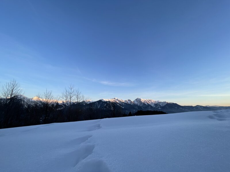
Monte Giuggia (1936 m)
Bocca di Benolina (2010 m)
NOTE: We recommend that you only make the excursion to Bocca di Benolina when the snow is firm.
ROUTE
This route starts from the village of Lodino (980 m). You can get here by car from Roncone in 5 minutes. Follow the road towards Rifugio La Rocca. From here, walk uphill across the meadows on the eastern side until you reach the crossroads, here take the road that leads to Rifugio La Rocca; after a hundred metres through the beech wood, walk until you reach a bend near a barn (village of Gambeta 1164 m); leave the road and continue walking uphill across the meadows until you reach another road that runs north-west.
Stay on this road until it becomes a trail that goes through the forest; leave the trail just before the forest and continue walking uphill across the wide meadows of Catrie; from here, you can choose various trails.
They almost all lead to the village of Cap (1525 m), where the last barns can be found. Just further up a little, you cross the old road that leads to Malga Giuggia (1662 m); here you follow the trail behind the alpine hut that takes you in a short time up to Monte Giuggia (1936 m), also called Capel dai Foch.
If the snow is firm enough and you want to extend the excursion, you can continue walking up to Bocca Benolina. Without taking off your seal skins, follow the road downhill northwards and you will soon come out of the woods into a hollow where you can find some cement troughs (village of Gras Vec 1580 m); here you leave the road that goes downhill and follow the flat path through the hollow to the woods, always heading northwards; continue along the path until you reach a stream bed; from now on the path winds uphill with wide bends; following the trail that runs near the ruins of Malga Lozzol (1742 m), you reach the "Baita delle Brise" in the locality of Laret (1586 m).
From here, follow the valley towards the upper Cima Benna (2366 m) until you reach a ledge that leads to a hollow located right at the foot of Cima Benna; from here you can see the saddle "Boca de Benolina" (2010 m) on the left. Walk in the direction of the saddle and watch out for the last 50 metres. Here you should normally put your skis in your rucksack and continue on foot.
When you reach the saddle, you go downhill on the other side, towards Valle di Benolina, where you cross the lower hollow on the left side if possible; after the last crest you come back near the village of Gras Vec, here you have to put on your skins again to get back to Malga Giuggia (the climb is short, about 80 m elevation gain).
From the alpine hut, the descent follows the same route of the ascent with some possible variations

