In the Central Giudicarie, a variety of routes unfold, differing in difficulty and gradient, ready to lead every hiker toward the peaks, offering spectacular panoramic views over the valley.
Walk in the Central Giudicarie
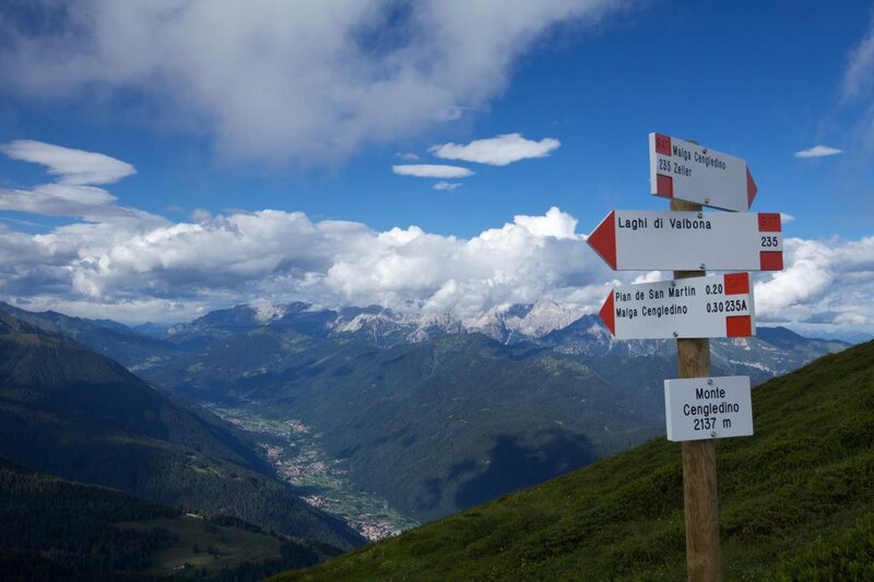
Trekking in the GiudicarieThe nature of this area is breathtaking: from the emerald waters of the Valbona Lakes to the clear waterfalls of the Breguzzo Valley, culminating in the imposing Passo del Frate, and the golden larches that light up autumn in Val di Manez and Gaverdina. Every step becomes a journey into well-being, immersed in a landscape that regenerates the senses.
Sound trails - "Sentieri Sonori"
"TRAILS “TO BE LISTENED TO”Here you can find stories and tales to listen to “en pas ala volta”, as you walk through the forests and along the paths of Tre Ville. At every stop, a sound — a memory from the past to be heard while surrounded by nature.
What do you need? A smartphone with an internet connection and comfortable walking shoes. Set off, scan the QR code, download the audio tracks and enjoy your walk!
La Via delle Valli
To discover, to discover yourselfThis territory is crossed by La Via delle Valli, a project created to explore and to explore yourself along panoramic paths and hidden corners, often little known even to those who were born and raised here. Backpack on your shoulders and credential in hand: you will have 50 itineraries ready to reveal the most authentic side of our mountains and of yourself.
The mapClick on the focus points and open up the route details. Choose the scale, select the desired information and download the map in full or in compact pocket-size version or the GPX track file.

