A very scenic and quite difficult hike that will reward you with its stunning views
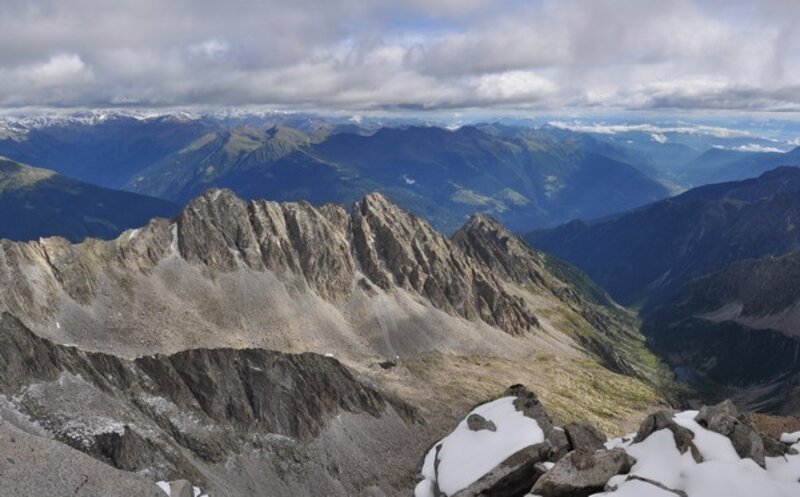
The route to Cima Scarpacò is a “grand” trekking that takes place in an extraordinary, majestic, and wild environment, immersed among granite spires and alpine lakes of rare beauty. The itinerary, with a marked exploratory character, is marked by signposts only in a small part and, being outside the main hiking routes, is extremely solitary and particularly fascinating. Other hikers are rarely encountered (keep in mind that the summit book is still the original from 1952 and the “summit signatures” have not yet reached half!). You walk on morainic deposits, soil, and scree along a path marked by rare stone cairns, which act as markers. The route, although having a “normal” elevation gain, is very tiring because you often walk among rough moraines. On the return, between Lago di Scarpacò and the junction with path 216, you face a particularly difficult, long, and demanding morainic deposit, which however does not detract from the beauty of the route. If you are not trained enough to reach the summit, it is still highly rewarding to do the loop connecting Valle del Lago della Vedretta with Valle del Lago di Scarpacò passing through Passo delle Marmotte.
The use of a GPS device is very useful. The return from the summit via the Valle del Lago di Scarpacò allows for a beautiful loop, however nothing prevents returning by the same ascent route.
The return from the summit via the Valle del Lago di Scarpacò allows for a beautiful loop, however nothing prevents returning by the same ascent route.