Beyond the locality of Pracul, in the locality of Manoncin at an altitude of 924 m starts trail no. 250 which leads in about 2 hours and thirty minutes to Malga Nova (1528 m).
After passing the locality of Pracul, when the road starts to climb, on the left there is a bridge that crosses the Chiese river and leads to the locality of Manoncin at an altitude of 924 m. From here starts trail no. 250 which, following the old mule track, leads in about 30 minutes to the locality of Manon (1111 m). Where the road is crossed, follow it to the left and, avoiding detours, in about one hour and thirty minutes you reach Malga Nova (1528 m).
Malga Nova is located at about 1532 meters above sea level.
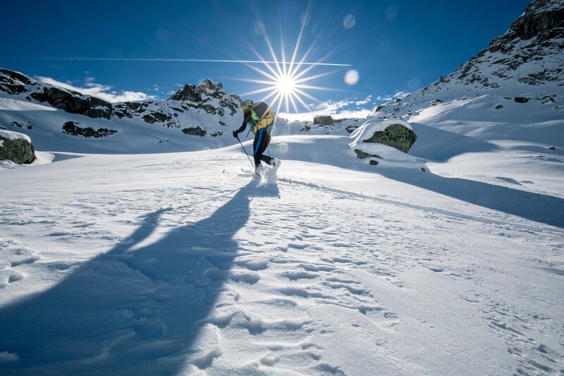
Malga Nova with skis
Keep in touch, stay tuned
Subscribe to our newsletter to receive our news from Madonna di Campiglio: events and special dates, holiday ideas, and our top tips on skiing, hiking, bike routes, natural wellness and much more — all this with just a click!