This highly scenic itinerary runs along the southern and northern slopes of the peaks known as Cima Pissola, Cima Maresse, Cima Clevet and Monte Cingolo Rosso, maintaining an altitude of around 2,000 metres for much of its length.
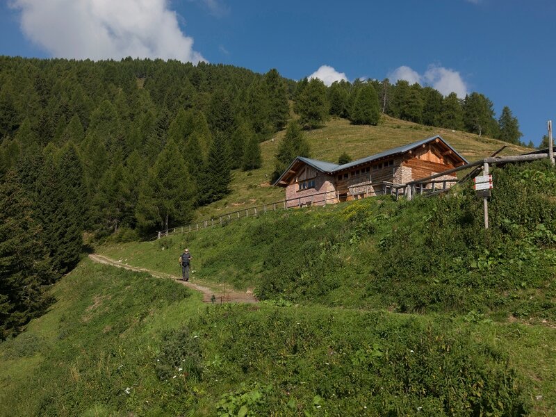
The hike begins at a moderate pace along a forest road before continuing onto a mule track that gently climbs the southern slope of the Cima Pissola peak, passing a series of Italian war posts – barracks, observation posts and basins – restored between 2005 and 2009. Once on the Cima Pissola summit, hikers are rewarded with a sweeping 360-degree panorama that illustrates the opposing Italian and Austrian fronts during the Great War. The trail then continues across panoramic slopes and alpine meadows, with moderate differences in elevation, until joining the mule track built by the Italian troops during the conflict. This track leads to the Bosco military encampment, where the remains of Italian military barracks dating back to 7 June 1915 can be explored. The final section of the hike is characterised by strong natural appeal, crossing an alpine pasture along a well-marked path before entering a dense spruce forest dotted with grazing pastures.
Not to be missed: the military posts on Cima Pissola; the Bosco military encampment.
The Line of the Peaks – The Great War Itineraries
Keep in touch, stay tuned
Subscribe to our newsletter to receive our news from Madonna di Campiglio: events and special dates, holiday ideas, and our top tips on skiing, hiking, bike routes, natural wellness and much more — all this with just a click!