An adventurous and wild valley characterized by marked verticality, streams, and very charming lakes. This route leads from Val Genova to Rif. San Giuliano.
Access to Val Germénega is possible from several points: from Val Genova, after Chalet da Gino, from Caderzone passing by Rifugio Laghi di San Giuliano, from Mortaso, and from Val di Borzago, crossing Passo del Forcellin.
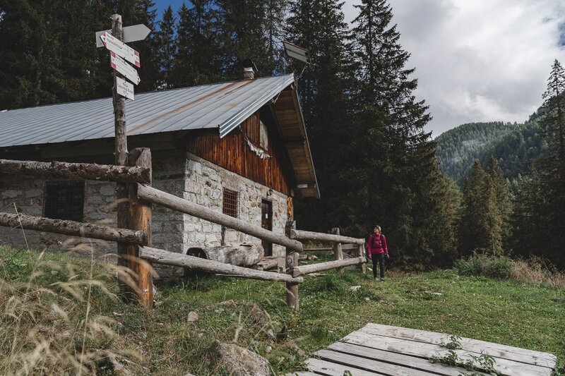
Here we describe the ascent from Val Genova, passing through Val Seniciaga and the first section of Val Germénega, up to Rifugio Laghi di San Giuliano.
The path starts after Chalet da Gino, about 900 m after the refuge on the left, going towards Bedole.
After crossing the river, take the trail that climbs steeply for 500 m along a mule track up to a pasture area where there are traces of the Great War. From here take Val Germénega, a side valley of Val Seniciaga, a pleasant and little frequented valley rich in water mirrors, dispersed in rapid succession. The first lake, at 1875 m, is the largest, while the fifth and highest, the Banco pond, is isolated at 2147 m.
If you want to see all the lakes of Germénega, and we recommend it, before taking the trail to San Giuliano a detour of about an hour towards Passo del Forcellin is necessary, then descend along the same route to the junction for Rifugio San Giuliano.
Continue your journey on La Via delle Valli, choose other valleys to explore among the 50 options! Discover them all and create the credential to record your passes here: www.campigliodolomiti.it/laviadellevalli.
NEAREST VALLEYS:
Access to Val Germénega is possible from other valleys, choosing between:
- Val Siniciaga, which is accessed from Val Genova.
- Val di Borzago, via Passo del Forcellin and trail 244.